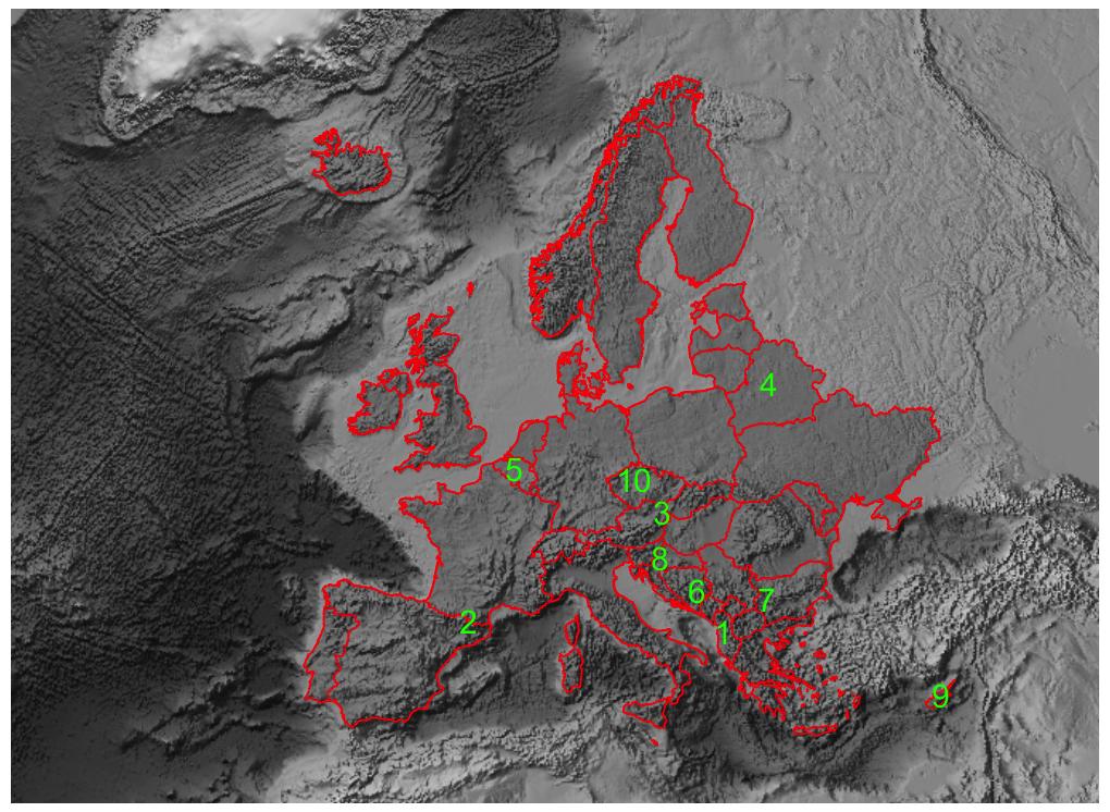
So far this is what i have:
   countries = EntityList[EntityClass["Country", "EuropeSovereign"]];
   GeoGraphics[countries, ImageSize -> 500, GeoBackground -> "ReliefMap"]
I want to be able to do these things:
- add country border line
- change the color scheme for "ReliefMap" - to a gray level scheme? is that possible?
- I have a list of lat/long data that I'd like to plot on the map and be able to label them with numbers. How can I do that?
Thanks for your help in advance.

