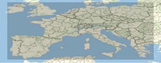
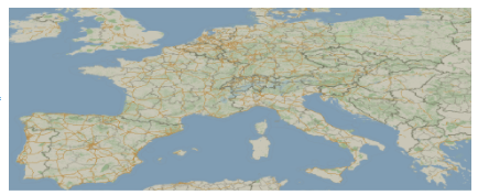
I have created an image of Europe as below:-
g1 = (GeoPosition[{56, #}] & /@ Range[-10, 25, 5]);
g2 = (GeoPosition[{36, #}] & /@ Range[25, -10, -5]);
img = GeoGraphics[Polygon@Join[g1, g2], GeoProjection -> "CylindricalEqualArea"]
As you can see, the desired area in now in grey, and there's a border with lighter color there. How can I remove the border without using the trial-and-error approach of chopping img by pixels?
Many thanks!


GeoRangePadding. $\endgroup$