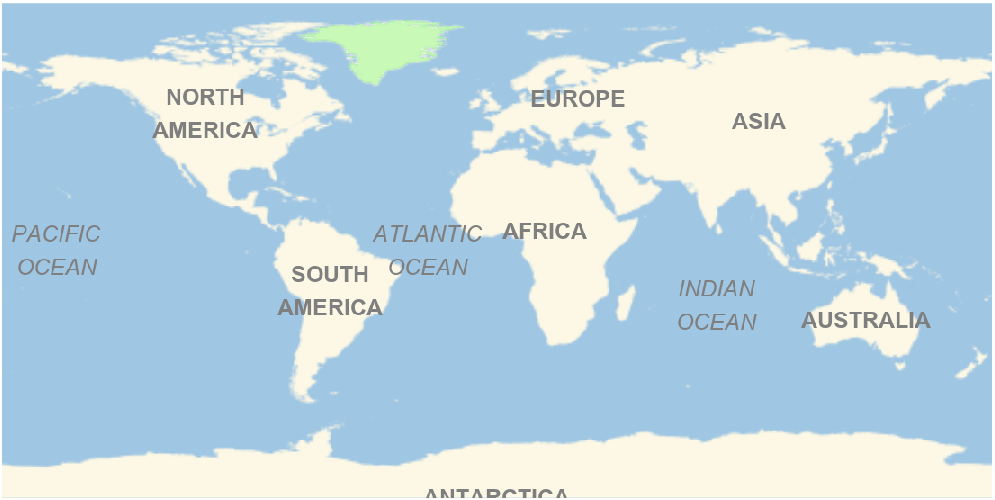
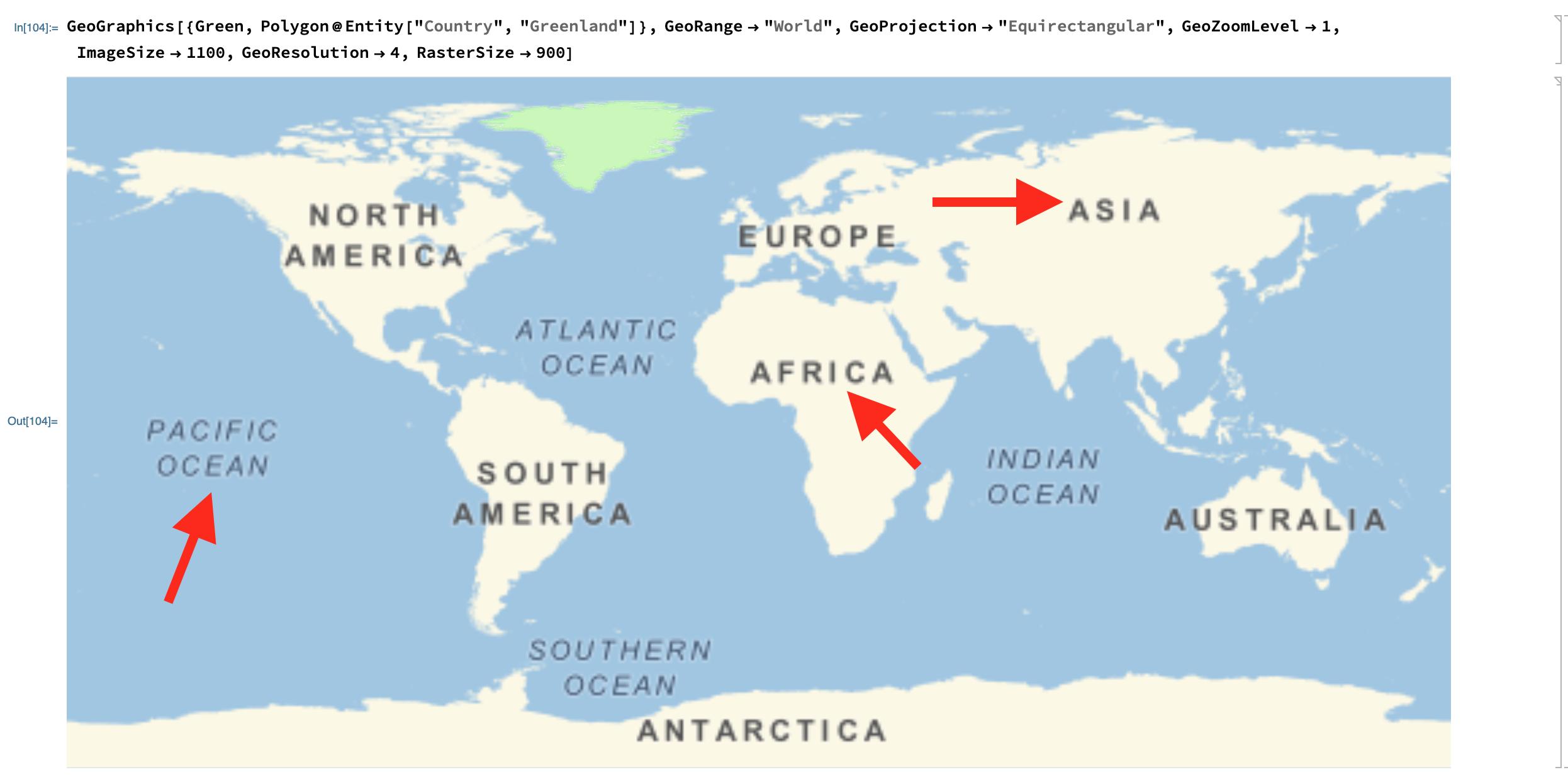
Use background without labels (with the option GeoBackground -> GeoStyling["StreetMapNoLabels"]) and add the labels as Text primitives:
oceanlabels = Text[Style[StringRiffle[StringSplit[ToUpperCase@#["Name"]], "\n"],
      24, Gray, Italic, ShowStringCharacters -> False],
     GeoGridPosition[GeoPosition[#["CenterCoordinates"]], "Equirectangular"]] & /@
  (Entity["Ocean", #] & /@ {"PacificOcean", "AtlanticOcean", "IndianOcean"});

continentlabels = Text[Style[StringRiffle[StringSplit[ToUpperCase@#["Name"]], "\n"],
      24, Gray, Bold, ShowStringCharacters -> False],
     GeoGridPosition[GeoPosition[#["CenterCoordinates"]], "Equirectangular"]] & /@
   Most[EntityList["GeographicRegion"]];

GeoGraphics[{Green, Polygon@Entity["Country", "Greenland"], oceanlabels, continentlabels},
 GeoRange -> "World", GeoProjection -> "Equirectangular",
 GeoZoomLevel -> 1, ImageSize -> 1100,
 GeoBackground -> GeoStyling["StreetMapNoLabels"]]


