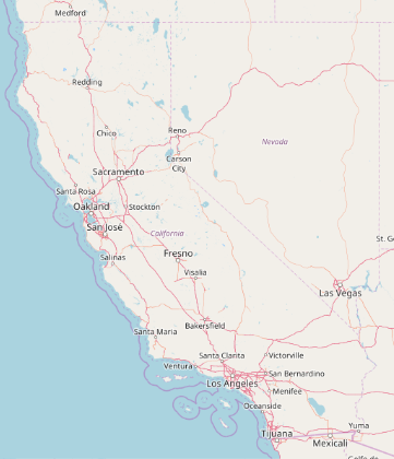
Using the GeoServer option, it is possible to load map tiles from external services.
Which services are compatible with GeoServer? How can I find such services? Does GeoServer follow a standard that has a name that I can google for?
The documentation shows a few examples:
GeoGraphics[{Entity["AdministrativeDivision", {"California", "UnitedStates"}]},
   GeoServer -> "http://a.tile.openstreetmap.org/`1`/`2`/`3`.png"
]

