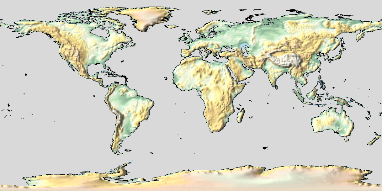
I want to create a map of the world's terrain (i.e. using GeoStyling["ReliefMap"]), but one that only shows the relief on the land, and not in the oceans (i.e. excluding submarine ridges, etc). Is there a way to restrict GeoGraphics to show only land relief, and display the seas and oceans as e.g. a neutral grey? Ideally, the coastlines would be outlined with a black line, but not also showing national borders (which Polygon[Entity["Country", "World"]], EdgeForm[Black] seems to force).
Can anyone help with this please? Apologies if this is answered elsewhere - I can't find anything similar with searches.

