I've applied Mathematica to the problem of estimating the area of an estuary, but when I got the results I wasn't able to understand in which unit of area it was given. My approach is the following:
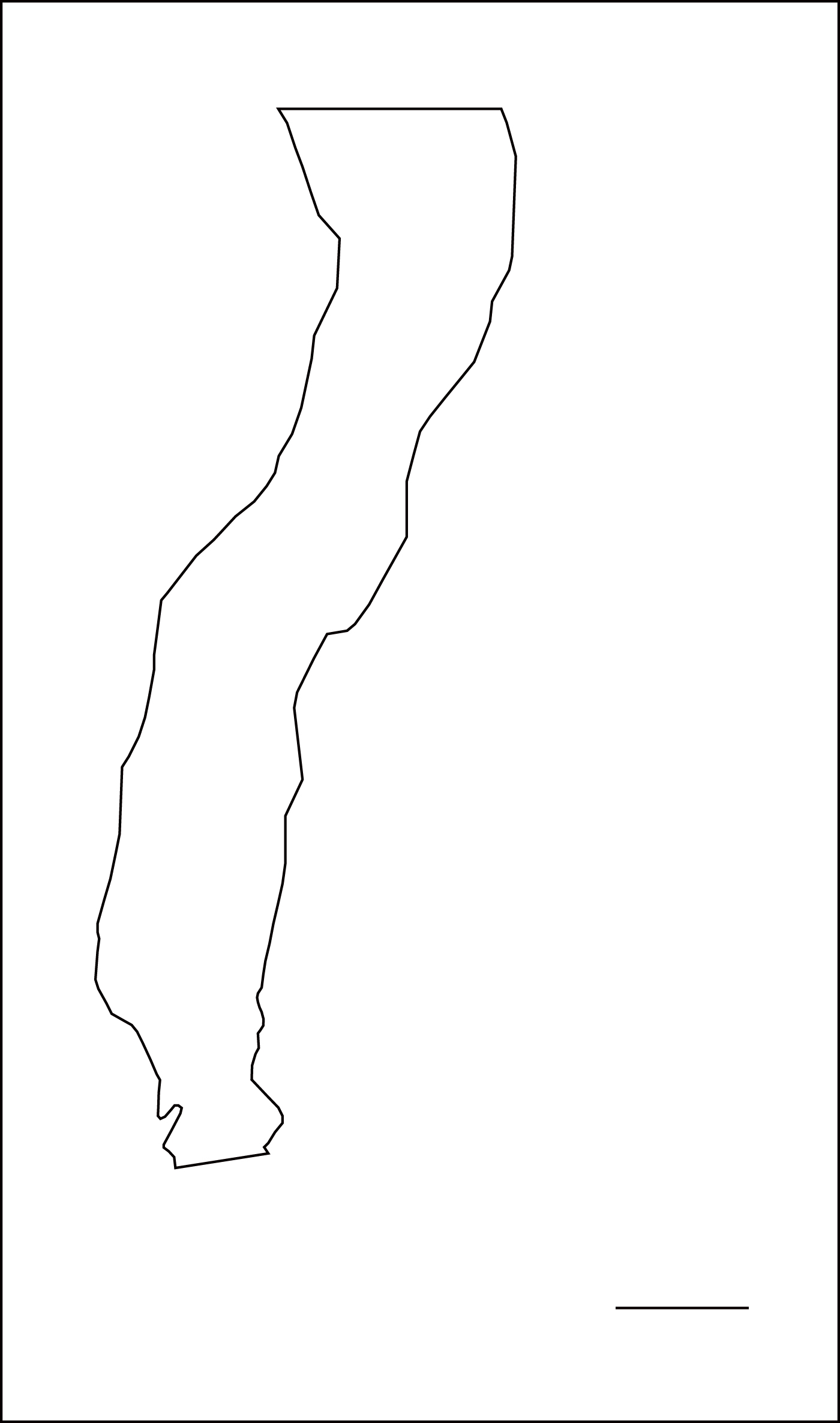
Here is the image of the shape of the estuary:
The horizontal line in the lower right side represents the scale, namely its length represents 1 kilometer.
Using the routine:
img = Binarize@
Import["C:\\Users\\Klën\\Documents\\Wayner - USP\\Rio Doce\\No \
estuário\\cont2.jpg"]~Erosion~1;
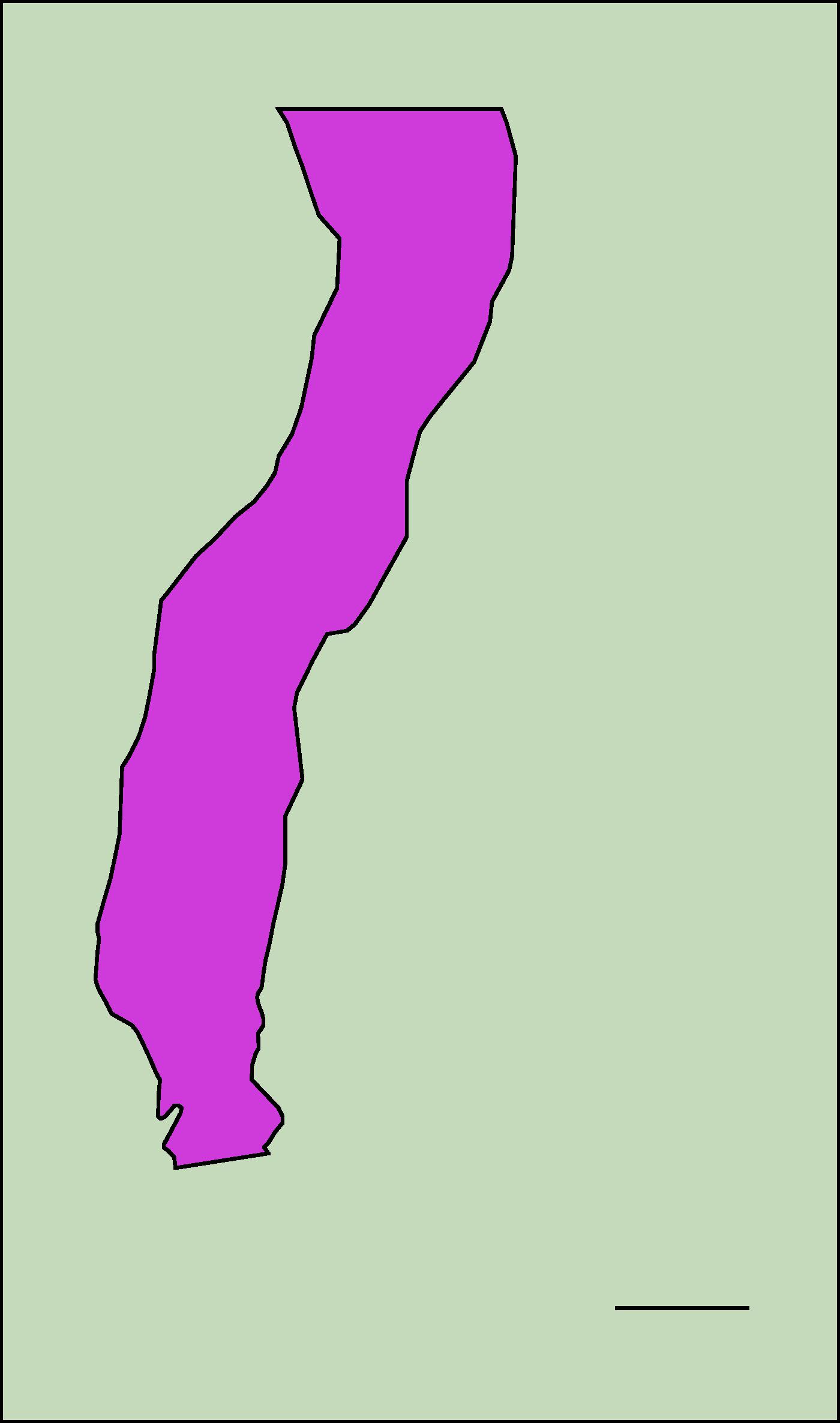
(m = MorphologicalComponents[img]) // Colorize
I've got:
And, applying the following code I've got the total area of pink region
in[63] = 2 /. ComponentMeasurements[{m, img}, "Area"]
out[64]= 461259.
But I really don't know in wich units the result is given, I would like to show the results in $km^{2}$, how could I do that?


