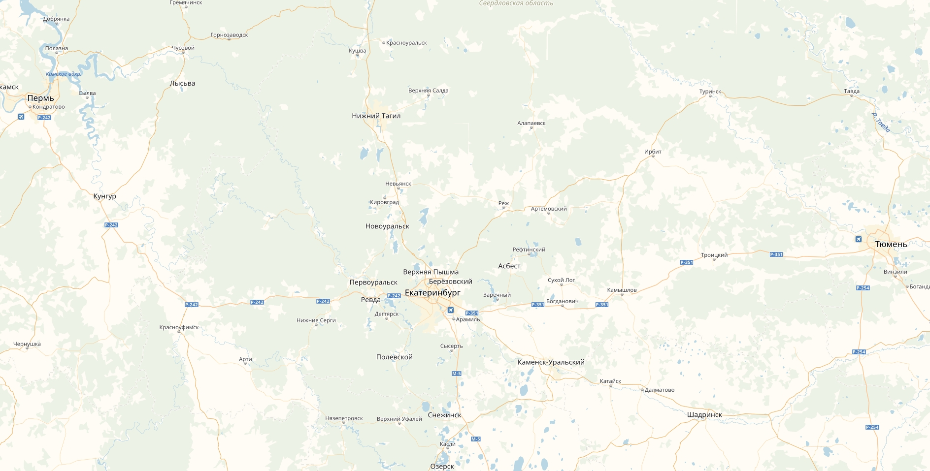
With reference to thethis related topic., I have a map (called EKB):
The coordinates of the map corners:
LowerLeftCorner = {FromDMS["55°44'59.75''N"], FromDMS["55°46'24.20''E"]};
UpperRightCorner = {FromDMS["58°36'01.89''N"], FromDMS["66°08'20.36''E"]};
The legends for objects:
a1=
a2=
a3=
I decided to create a dataset at first in order to store the names of the objects and their coordinates.
The dataset:
DataSetEkb = Dataset[{
   <|"Names of Objects" -> "Белоярская АЭС",
    "Coordinates" -> {56.842034, 61.319775}, "Legend" -> a1 |>,
   <|"Names of Objects" -> "Ново-Свердловская ТЭЦ",
    "Coordinates" -> {56.839909, 60.841127}, "Legend" -> a2 |>,
   <|"Names of Objects" -> "Среднеуральская ГРЭС",
    "Coordinates" -> {57.000236, 60.463666}, "Legend" -> a3|>}];
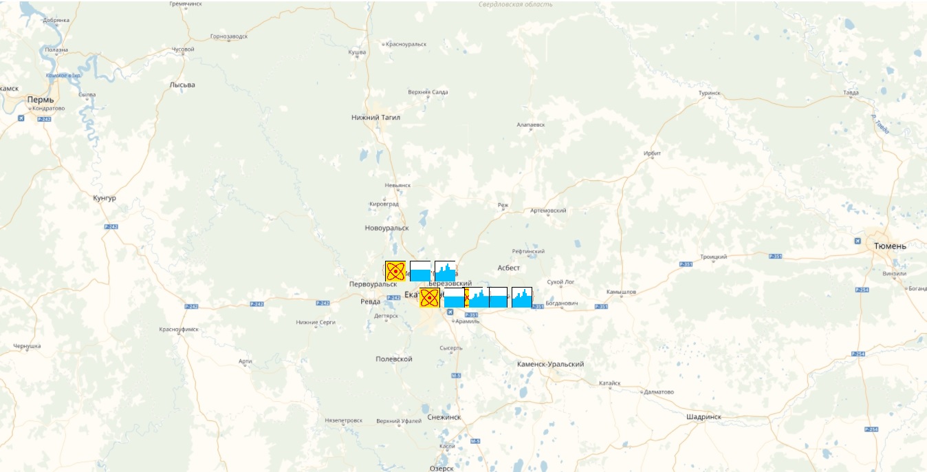
And finally I got this:
GeoGraphics[{GeoMarker[GeoPosition[Normal[DataSetEkb[All, 2]]],
   Normal[DataSetEkb[All, 3]], "Scale" -> Scaled[0.5]]},
 GeoBackground -> GeoStyling[{"Image", EKB}],
 GeoRange -> Transpose@{LowerLeftCorner, UpperRightCorner}]
Questions:
Why did I get this result and how can it be fixed (what's wrong with my parameters of GeoMarker)?
Is it okay to use the DataSet in such type of the "task" (in order to store the objects and their parameters)? What if the number of the objects is more than 2000? Perhaps, there is a better way to store the objects?
(I hope I was sufficiently specific)


